Mapping Arctic Trade Routes Lesson Plan
- Length
- One 60-minute class period
- Grade Level
- High School
Learning Objectives
- Students will identify the economic significance of Arctic shipping routes, assess the costs and benefits of Arctic trade, and evaluate for themselves the extent to which U.S. policymakers should concern themselves with the Arctic.
Instructional Plan
- (Preparation: Before Class) - Print or source two large maps, ideally physical maps that can accept pins or thumbtacks. Place one map on each side of the classroom and use two pins to pre-mark Rotterdam, Netherlands and Shanghai, China. Have two colors of string and additional pins ready for each map - students will be working with these materials during the class session. On a third wall (the front of the room), project a map with Arctic sea routes visible as a reference, so that students can see the Northern Sea Route and Northwest Passage clearly while they work.
- Have on hand the following distances (you will need these during class):
- Rotterdam to Shanghai via Suez Canal: approximately 10,500 nautical miles
- Rotterdam to Shanghai via the Northern Sea Route: approximately 7,900 nautical miles.
- (Introduction: 5 minutes) - Open the session by explaining to students that - whether they’ve heard it or not - Greenland and the Arctic have increasingly been in the news and that the world’s strongest powers are increasingly staking claims to the Arctic. Today’s session is intended to explore why so many of the world’s countries are investing themselves in this region.
- (Map Activity: 15 minutes) - Divide students into two groups, one group per map. Each group has two tasks:
- Task 1 - Mapping the current shipping route: Using pins and string, have students map the existing shipping route from Rotterdam to Shanghai. The route travels south through the English Channel, through the Strait of Gibraltar, across the Mediterranean, through the Suez Canal, around the the Arabian Peninsula, past India and Southeast Asia, and up through the South China Sea to Shanghai. Students should place a pin at each major waypoint and connect the pins with string.
- Task 2 - Mapping the Arctic route: Using a different color string, have students map a hypothetical shipping route from Rotterdam to Shanghai that travels north through the Norwegian Sea, east through the Arctic Ocean and the Bering Strait, and south to Shanghai.
- (Small Group Analysis: 15 minutes) - When both routes are mapped, use the projector to show students CFR Education’s “Overlapping Claims in the Arctic” map (located at bottom of linked resource). Then, have students step back and compare the two routes visually, using the maps and following questions to guide their analysis.
- “What do you notice just from looking?”
- “How long is each route?” (Students estimate the distances from the map before the actual distances are revealed)
- “What potential hazards could a ship encounter along each route?” (i.e. extreme weather, piracy, canal traffic and delays, etc.)
- “Which countries would a ship have to negotiate with along each route?”
- “What costs might a ship encounter along each route?” (i.e. tolls, fuel costs, potential lack of ports for emergency stopping, etc.)
- “What would make each route a more attractive choice? (i.e. more ports, icebreaker escorts, naval presence in military hotspots, etc.)
- (Full-Class Analysis: 15 minutes) - Bring both groups together for a full-class discussion of the following questions, using the maps visible on both sides of the room as visual anchors for the discussion.
- “What did you notice about these routes?”
- “Which route would an international shipping company probably prefer - and why?”
- “The shipping industry is responsible for over 70 percent of all global trade. What could it mean for world trade (and the global economy) if Arctic routes became reliably and regularly navigable?”
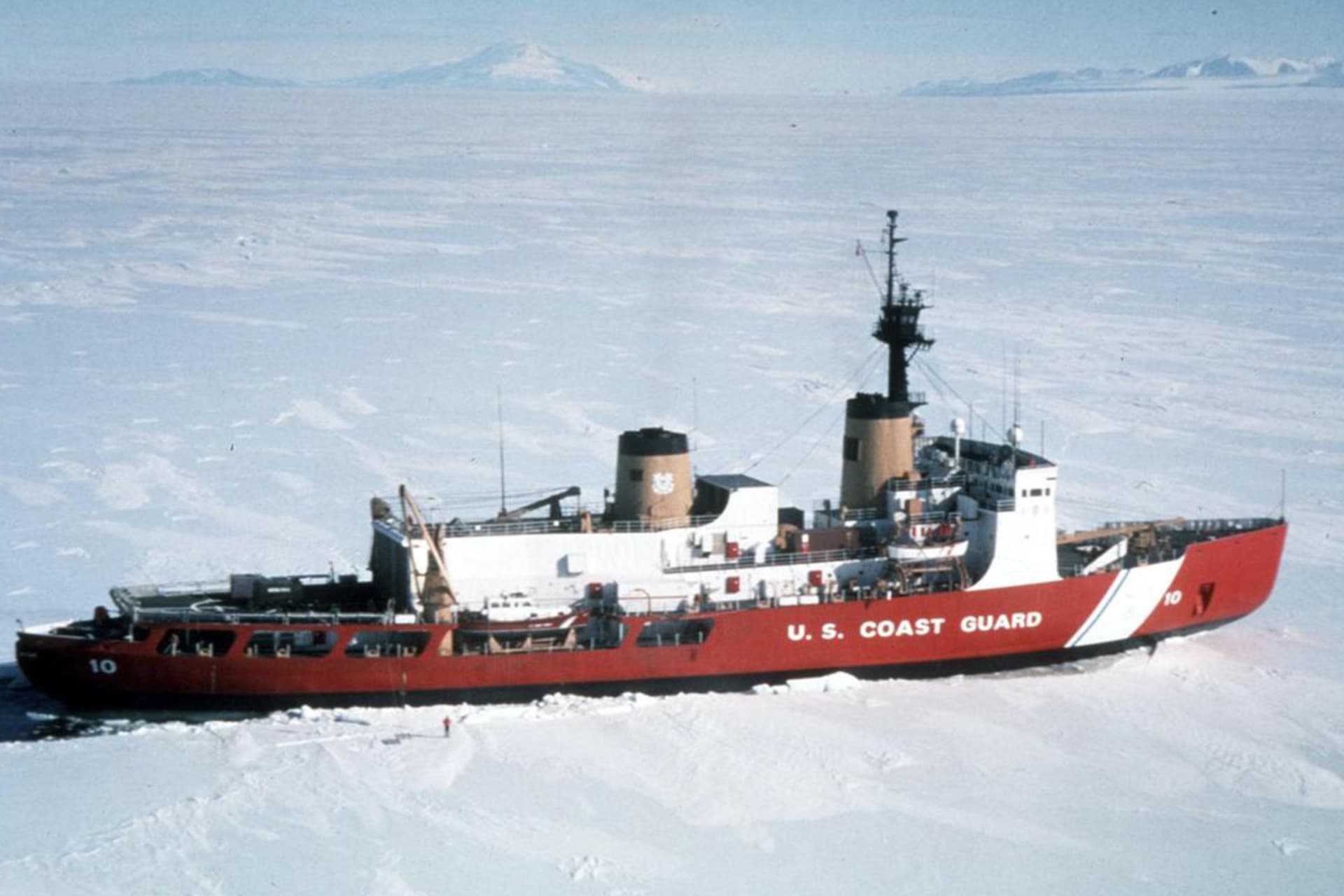
- “Russia currently controls the Northern Sea Route. China is investing heavily in Arctic infrastructure, like icebreaking ships that can handle treacherous Arctic conditions. The United States currently has limited icebreaker capacity and no Arctic ports. To what extent would you recommend the United States involving itself in the Arctic, and why? What investment, if any, would you recommend? What would it take to put these changes into practice?”
- (Final Reflection: 10 min) - Have students respond to the following question on a blank sheet of paper or in a notebook: “You are the CEO of a major global shipping company in 2035. Arctic ice has continued to melt and the Northern Sea Route is now navigable eight months a year. Write a short memorandum to your board explaining which route your fleet will use, and what concerns you most about the decision.”
Notes
- As an optional extension, follow this class session up with CFR Education’s “U.S. Arctic Policy” simulation.
Materials
U.S. Arctic Policy
Mini Simulations
Help Students Understand Why Greenland is in the News
Insights for Educators