Much Ado About Mapping
The lone dissent came from Washington on a UN resolution over a map long criticized for making Africa look smaller than it is.
By experts and staff
- Published
 Michelle GavinCFR ExpertRalph Bunche Senior Fellow for Africa Policy Studies
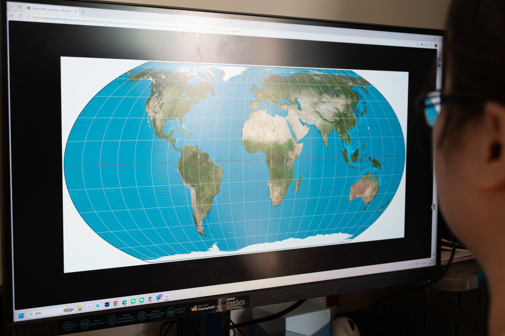
Late last week, the United States cast the sole vote opposing a United Nations General Assembly resolution encouraging member states to use accurate world maps. Specifically, the effort was aimed at shifting away from the Mercator projection, which enlarges landmasses near the poles relative to those closer to the equator, to the Equal Earth projection, which gives viewers a less distorted view of the relative size of continents. Unsurprisingly, it was an effort driven by the African Group of fifty-four African countries, collectively eager to right-size perceptions of their continent.
Why would Washington object to improving the accuracy of a map? To read the statement delivered by U.S. officials, the resolution was an affront to “common sense,” a stalking horse for a “radical ideological project,” and a distraction from more important matters before the United Nations. The latter argument is particularly rich coming from an administration eager to rename bodies of water in lieu of effective diplomacy. Casting that aside, one is left to ponder what kind of radical agenda is advanced through cartographic accuracy. The answer, it would seem, is an agenda that does not minimize or dismiss Africa or Africans.
What could the United States possibly gain by taking this stance? How does rejecting this anodyne effort to correct a distortion that obviously grates on Africans going to advance American interests or make it easier to partner with African states on security or economic matters? Is there really such a powerful domestic political audience demanding poorly designed maps that it merits alienating Africans, soon to account for one quarter of the world’s population, by suggesting that they should know their (misleadingly shrunken) place?
By positioning “common sense” in opposition to accuracy, the United States seems to be suggesting that any revision—even one aimed at correcting misperceptions—is an affront to a preferable, comfortable, mistaken impression. From denying the reality of climate change that is dramatically reshaping our world with such vigor that the word “sustainability” becomes verboten to pretending that the most pressing need for refuge among the worlds’ people is that of white South Africans, it’s an insistence on fiction that isolates the United States and at best confounds the rest of the world. We are not just demanding to be wrong, we demand that others agree to our delusions.
This work represents the views solely of the author(s). The Council on Foreign Relations is an independent, nonpartisan membership organization, think tank, and publisher, and takes no institutional positions on matters of policy.